
Fort Henry Historic Byway
The Fort Henry Historic Byway stretches for over 50 miles through the stunning landscapes of Idaho’s St. Anthony Sand Dunes and the Greater Yellowstone Ecosystem. This scenic drive winds through quartz sand deserts, flowery meadows, and wilderness, offering breathtaking views of the area. Along the way, you can explore several historical sites, including the monument of Fort Henry and the Nez Perce National Historic Park.

The Fort Henry Historic Byway begins at Rexburg off the U.S. 20 Exit and heads north through St. Anthony Sand Dunes on Red Road, then onto A-2 Road Junction, continuing east to end at Island Park near Yellowstone.

Amenities are sparse on this drive, so be sure to gas and stock up in Rexburg if needed. During the 2 hour trip, you will be treated to stunning views of the Snake River and its tributaries, as well as the St. Anthony Sand Dunes and the Caribou-Targhee National Forest, which is a vast wilderness that extends through four different states.

One of the first attractions along this drive is the Fort Henry Historic Site, which you can stop at early on your trip. Built in 1810, Fort Henry was an early outpost for fur trapping and expeditions to the Columbia River. Today, the area is a National Historic Landmark and is open to visitors, but there is no fort here, just a memorial. You can learn more about the fort’s history and explore the grounds at the nearby museum.

As you head north, you’ll drive through the St. Anthony Sand Dunes, a 10,600 acre expanse of ever-changing quartz sand dunes. This is a popular spot for off-road recreationists and if you are interested, you could rent some ATVs for the day at the nearby town of St. Anthony. There is also a campground with trails if you want to take a short hike.

Keep heading north and before you get to Kilgore, you’ll turn right onto A-2 Clark Country Road. This will take you back to U.S 20 and the Snake River.

Along this road, you will reach the outskirts of the Nez Perce National Historic Park and the site of the Camas Meadow Battlefield. This is an interesting park to explore with lots of information about Chief Joesph and the conflicts surrounding Western Expansion. It is also very beautiful in the spring and early summer when the prairie is green and covered with purple flowers.

Eventually, the plains will turn into forest and you’ll know you are in the Caribou-Targhee National Forest, which is part of the Greater Yellowstone Ecosystem. This area is mostly wilderness, campgrounds, and lodges, but as you approach Island Park, there is a small town called Rea which is home to a really neat bar, the Shotgun Bar, a fun place to stop. Soon you will cross the river, and you can make a right onto U.S. 20 to reach Island Park.
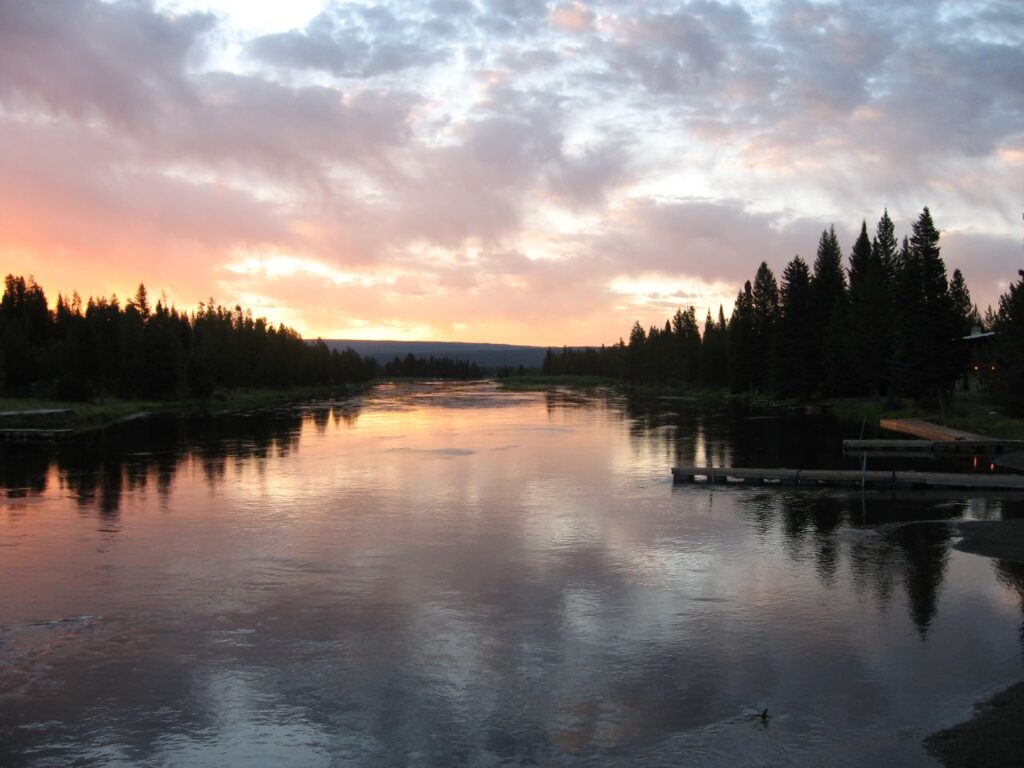
Island Park has camping, boating, and other water activities. It is also nationally recognized as an excellent fly-fishing spot! Check out our article on Henry’s Fork for more information in this part of Idaho. I recommend renting a cabin here and staying for a day or two, especially if you plan to continue your adventure on to Yellowstone.

The Fort Henry Historic Byway is a great way to explore the history and beauty of Idaho. With its stunning views and rich history, the byway is sure to provide you with an unforgettable experience.
If you get lost here’s another map. *This one goes east to Ashton, that is not part of the Byway