
White Clouds Trail Loop

The White Clouds Trail Loop is a majestic and fairly challenging 30-mile hike through Cecil D. Andrus-White Cloud Wilderness area, which is part of the Sawtooth Mountain Range outside of Stanley, Idaho. Named for Cecil D. Andrus, Idaho’s last Democratic Governor and famed conservationist, the park is a popular camping and recreation area due to its myriad sub-alpine lakes, limestone peaks, meadows, and streams. The loop trail can be experienced as a four day trek, or taken in leisurely as a day trip to one of the closer destinations. If you like lakes and water, this is the hike for you! There are so many clear, mountain lakes you will barely be able to keep track of them.
While most of the trail is well-maintained, it is important to keep in mind that some parts can be rather treacherous (the class four scramble, “Devil’s Staircase”, for instance) so be prepared to hike upwards of 10,000 feet of unmarked trail, and if you are doing the full loop, carry supplies for a four-day excursion. You will also want to attempt this mid-late summer or early fall, since snow and freezing temperatures can be an issue until early July (unless you are on skis!).
Check AllTrails for updates on weather and conditions.

Overnight Camping or Day Trips
Fourth of July Creek Trailhead to Born Lakes or Boulder Chain Lakes

This is a 8-10 mile Moderately Challenging trail with beautiful views and meadows, ending at Born Lakes or Boulder Chain Lakes, which are popular camping and recreation spots.

Start at the Fourth of July Creek trailhead and continue up a slight incline. After 1.5 miles, you will reach a fork, where you have the option to turn right and go to Chamberlain Basin and Fourth of July Lake or to go left and go up a steep path. To get to Born Lakes, you will want to take the left at the fork to the top of the divide. Once you reach the ascent, you will be rewarded with a spectacular view of Antz Basin, a lovely valley with trees and meadows. Take it in, because the decline can be the toughest part of this trail, with lots of loose rocks and a steep incline (be prepared going back up). You’ll see the trail wind down to the first lake, and you can camp anywhere along the shore, however, the the Boulder Lakes Chain is a bit prettier, so if you have the energy, you might want to keep going a few more miles and camp there. Continue south past the main trail and up a rocky, less marked scramble (there are cairns along the way and usually footprints to guide you). You’ll have another great view of the rest of the lakes before descending down again.

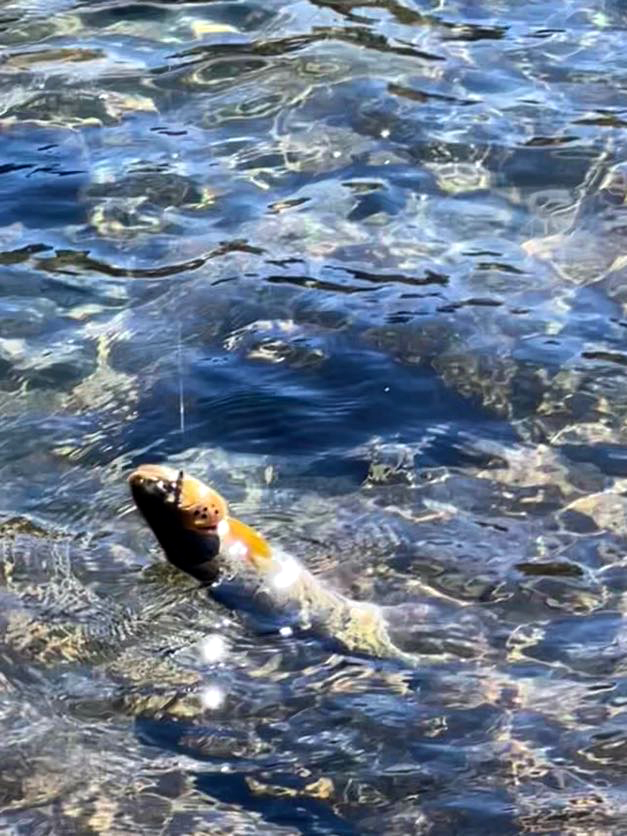
You can camp anywhere in White Clouds without a permit and bring dogs or pack animals too. There are some great fishing spots where you can catch cutthroat or trout, but you will need a permit if you are looking to catch your dinner.
Fourth of July Creek Trailhead to Fourth of July Lake
This is a popular, moderate hike through forests and meadows and is quite a bit shorter than the hike to Born Lakes (about 3.6 miles to the start of the lake, so it can easily be done in a day). Unfortunately, due to forest fires a few years ago, this path is not as shady as it once was, but there are plenty of wildflowers to add color to your excursion. To get there, start at the Fourth of July Creek trailhead and turn right at the fork. You should get a great view of the lake at about 100 feet. Fourth of July Lake is very beautiful and sits between several mountain peaks, which makes it a great place to take in the majesty of the Sawtooths without the rigors of some of the more challenging trails. If you are up to it, you can continue on for a few more miles to reach Washington Lake, which is bigger but the trail is steeper and more rocky. Both lakes are great spots to relax, fish, bird watch, or camp.

Hiking the Full Loop
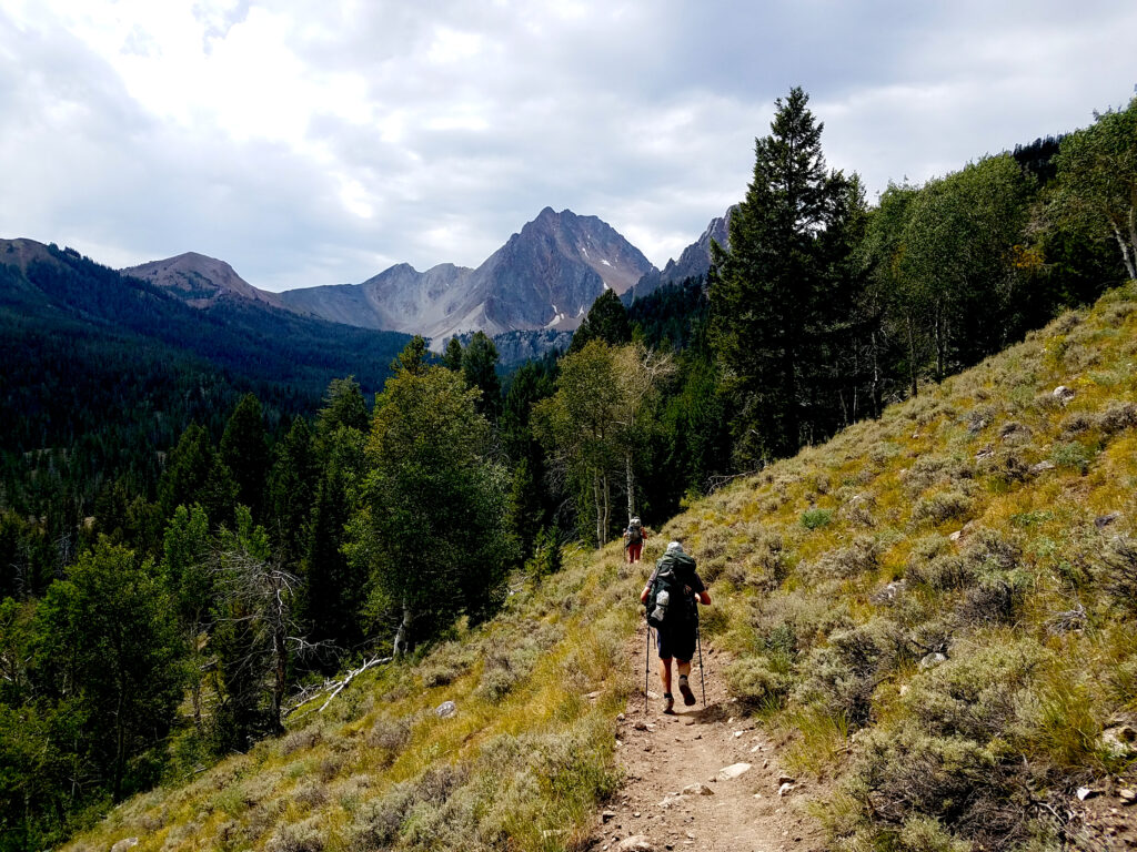
The White Clouds Loop Trail is an adventure few backpackers will want to miss out on, and is a fairly well-kept secret by locals in Idaho. During your 3-4 day trek you will pass through a variety of sub-alpine environments, including countless serene lakes bordered by jagged white peaks, with steams, meadows, valleys, and forests in between. This trail is highly recommended for its great views and diverse ecology.
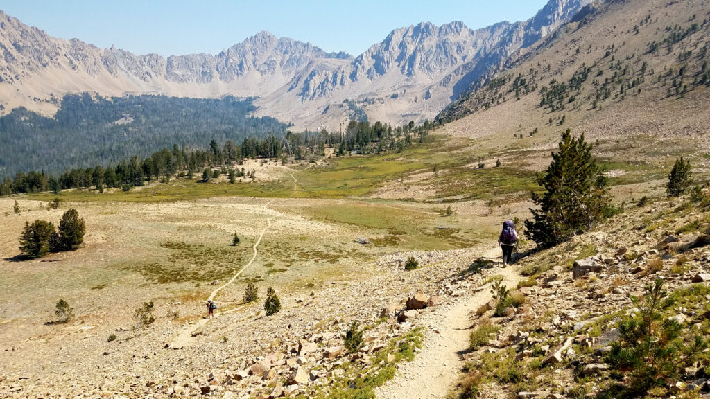
Starting at Fourth of July Creek trailhead and heading towards the first main fork, hikers will have the option of experiencing the loop clockwise or counter-clockwise. Since most people go clockwise, this guide will follow that route.

The clockwise route for the first day will take you through Antz Basin and Born Lakes, or further up to Boulder Chain Lakes. You will want to take the left at the first fork at the top of the divide, and go down to Antz Basin, which will lead you on to the first Born Lake. If you choose to have a lighter day, this is a great place to camp, but if you have the energy, you might want to keep going a few more miles and camp further up. The Boulder Lakes are breathtaking, but can be a bit challenging to reach. Continue south past the main trail and follow the cairns and footprints up the steep scramble. This is called the Devil’s Staircase, and it is so named for a reason. You’ll have a great view of the Boulder lakes at the top before descending down again.

Many people camp at Born Lakes for one night, or camp for two nights at Boulder Chain Lakes since it is so spectacular up there. This is where my sister got engaged.

There are a lot of lakes to explore and nice scenery to take in at the Boulder Lakes. There really isn’t another good camping spot until Chamberlain Basin, which is another day-long hike to the south, so I would suggest resting up here. I have heard some people camp at Castle Lake which is about midway, but it can be difficult to find since there is not an easily accessible trail to follow.

The journey to Chamberlain Basin will lead you past meadows and winding streams and through old-growth forests with plenty of wildlife – even black bears occasionally. Past Willow Lake, one of the last Boulder Lakes, take a right at Little Boulder Creek Trail. Soon you will get to the very well-defined Chamberlain Lakes trail (047), which will take you down and around Castle Peak.

You will go up around the base of this mountain until you reach the top of Castle Divide where you can stop and great some views of this side of the mountain range. Continue downhill, until you reach the first Chamberlain Lake, then go north for another mile for great camping along the largest lake. This is a pretty long trip, almost 12 miles, so be prepared for a long day.
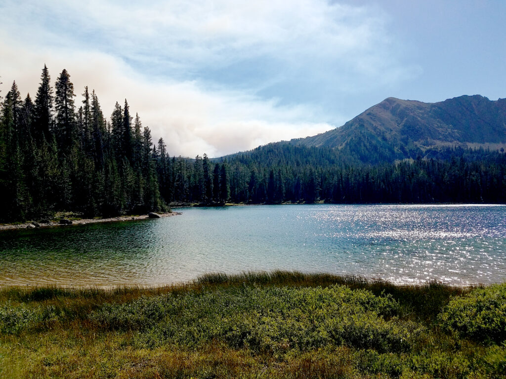
Castle Peak will be your friend and guide during this excursion, and you will end at the beautiful Chamberlain Basin for your third night.

On your fourth day, you’ll have another 10-mile adventure ahead of you. Head back from the Chamberlain Lakes to the main trail and turn left. There are a lot of forests and shade here and and it is a fairly easy hike. When you get to the Germania/Washington Lake trail, take this trail up until get to your old friend, the Fourth of July Creek Trail. You’ll go up on an incline, and then back down past Washington Lake (another popular camping spot) and back to the trailhead. Sadly, much of this area has been destroyed by recent forest fires (as of 2021), so this probably won’t be the most epic part of the trip. The good news is there are still a lot of wildflowers to see, and you can grab a beer in Stanley or Ketchum when you get back to civilization.

Other Links and References
- Check out the White Clouds Preserve website to learn more about the people involved in maintaining this great preserve.
- The Alltrails app has a comprehensive guide for the full loop, so you won’t get lost.
- Print out full maps for White Clouds and other Sawtooth locations at sawtoothsociety.com.